Avenue OS · Land & Property
GIS & Permitting
One public map for the questions your counter answers all day.
 Open in Avenue OS
 What it does
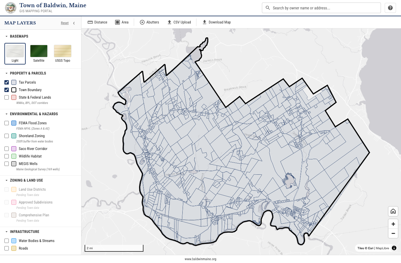
A public parcel map answers the questions your counter fields all day: who owns this, what is it zoned, is it in a flood zone, how far is it to the property line. Tax parcels, zoning, FEMA flood overlays, and on-map measurement in one interface, on any device. Residents, realtors, and surveyors self-serve, and staff stop reading parcel numbers over the phone.
Out of the box
- Parcel lookup with zoning detail
- FEMA flood zones and overlay layers
- On-map distance and area measurement
Configured for your agency
Every module ships as a working starting point, not a blank slate. We configure the data sources, the fields and categories, the access rules, and the branding to your agency, then deploy in weeks rather than quarters. Your data and configuration stay yours, with a clean handoff and no lock-in.