Climate Risk Atlas
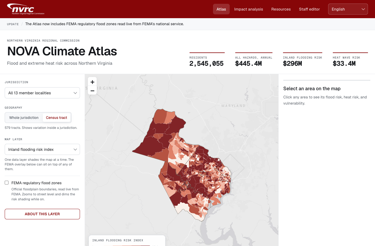
Flood, heat, and social vulnerability mapped to the census tract, with live FEMA flood zones.
 Open in Avenue OS
 Hazard planning usually means a PDF that was accurate the year it was written. This module maps flood, heat, and social vulnerability to the census tract across every jurisdiction in a region, so a planner can compare neighbours and a resident can find their own street. FEMA regulatory flood zones are read live from the national service rather than copied, and each area carries an avoided-loss estimate that turns a risk score into a number a capital request can cite.
- Inland flooding, sea level, and extreme heat indices
- FEMA regulatory flood zones read live from the national service
- Census-tract detail with social vulnerability and avoided-loss estimates
Every module ships as a working starting point, not a blank slate. We configure the data sources, the fields and categories, the access rules, and the branding to your agency, then deploy in weeks rather than quarters. Your data and configuration stay yours, with a clean handoff and no lock-in.